Log in
All resources
Create a design
52,119 Free Images of Old Celestial Maps
description de l'universe
maps made in the 18th century
geographical illustrations by coronelli
maps in the stadsarchief amsterdam
caspar philips
1683 maps of africa
maps by pieter schenk (i)
1550s religious paintings
1550s paintings from italy
atlantis magni tomus quartus (biblioteca comunale di trento)
geographical illustrations by coronelli
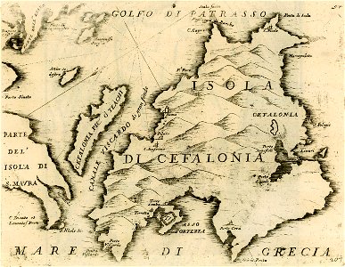
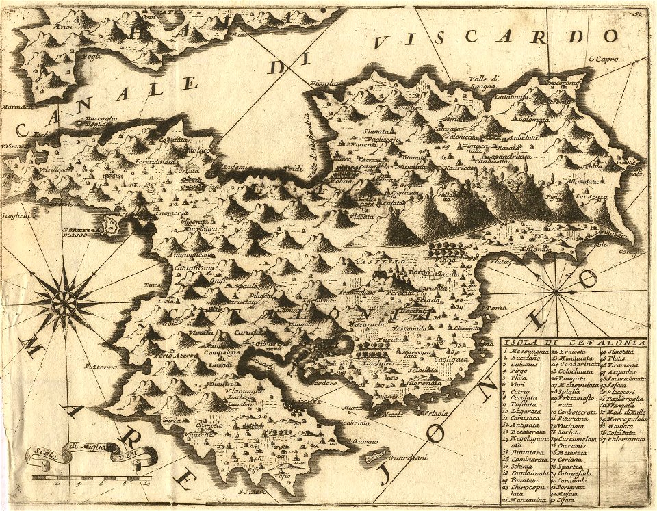
maps of kefalonia
description de l'universe
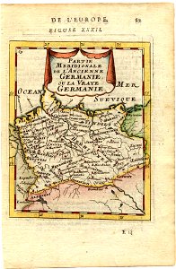
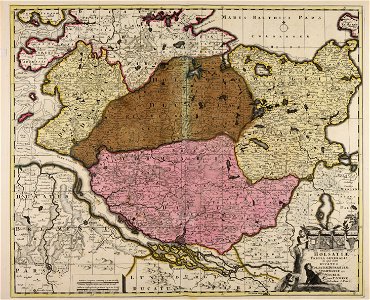
1680s maps of germany
description de l'universe
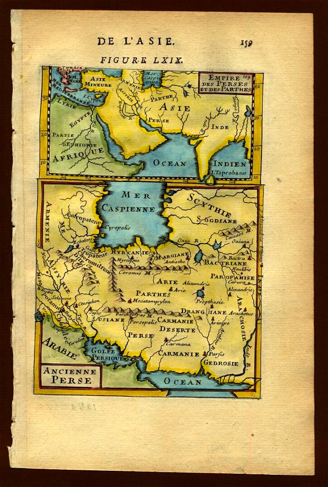
1683 maps of iran
description de l'universe
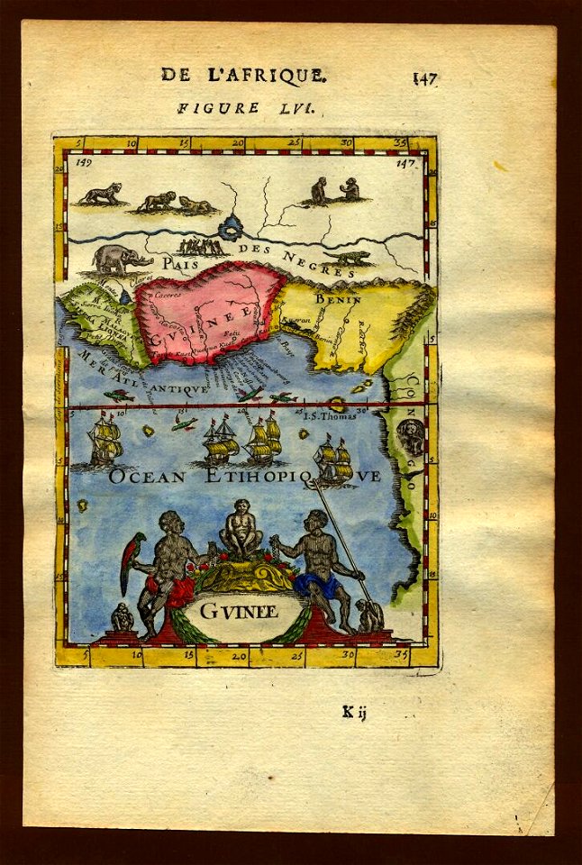
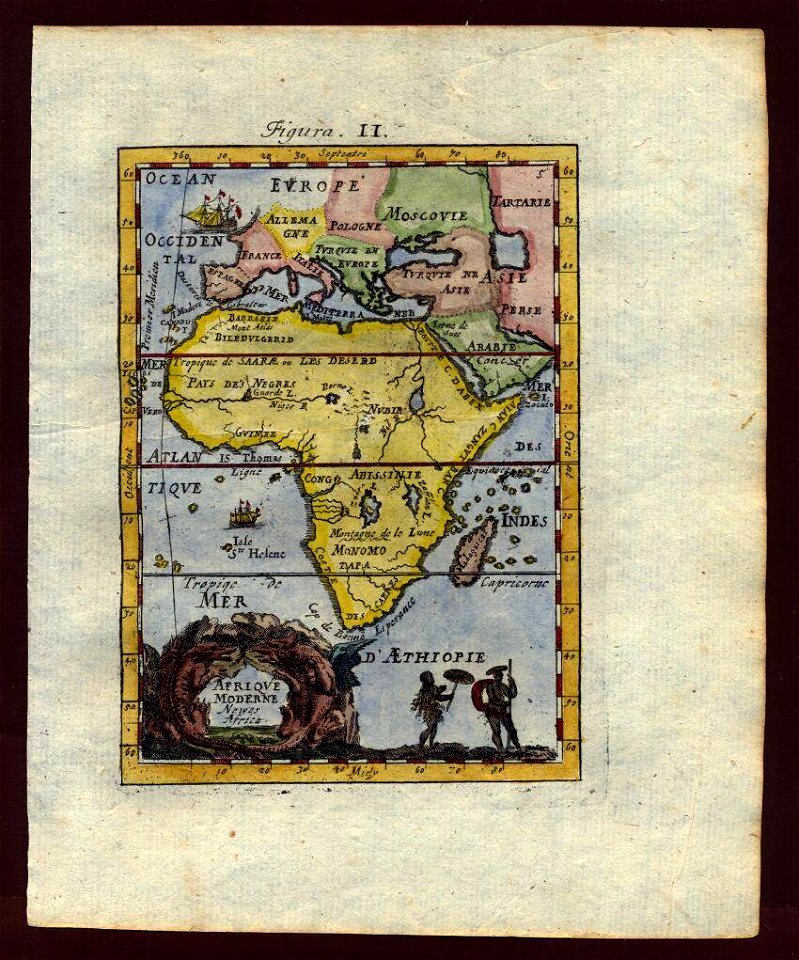
1683 maps of africa
description de l'universe
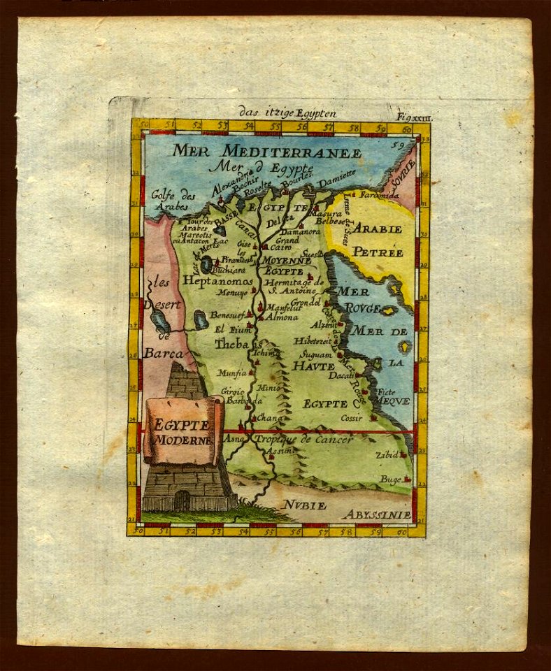
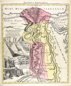
1710s maps of egypt
description de l'universe
1683 maps of africa
description de l'universe
1683 maps of africa
description de l'universe
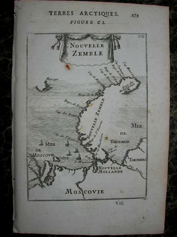
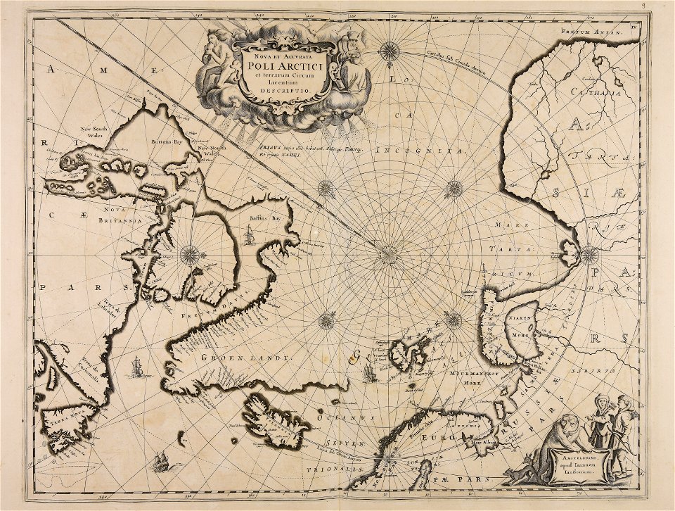
maps of novaya zemlya
description de l'universe
1719 maps of iran
description de l'universe
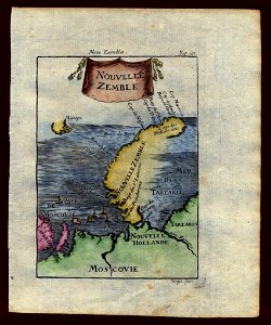
maps of novaya zemlya
description de l'universe
1683 maps of ethiopia
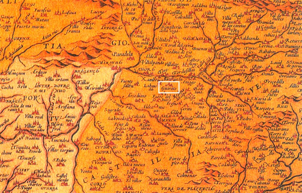
1570s maps of spain
1572 in spain
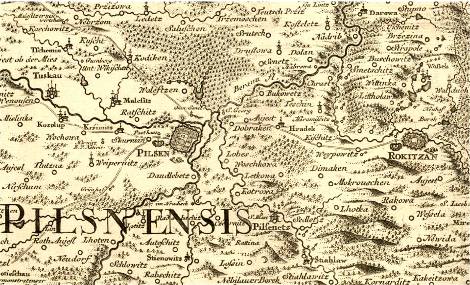
historical maps of plzeň
johann christoph müller
description de l'universe
1719 maps of europe
description de l'universe
1680s maps of egypt
description de l'universe
1719 maps of iran
people with maps in art
max gaisser
description de l'universe
1719 maps of africa
historical images of lepiel
maps of liepieĺ
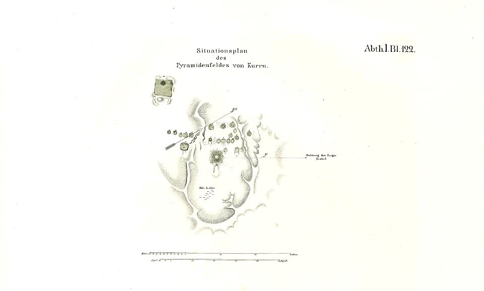
archaeological sites in nubia
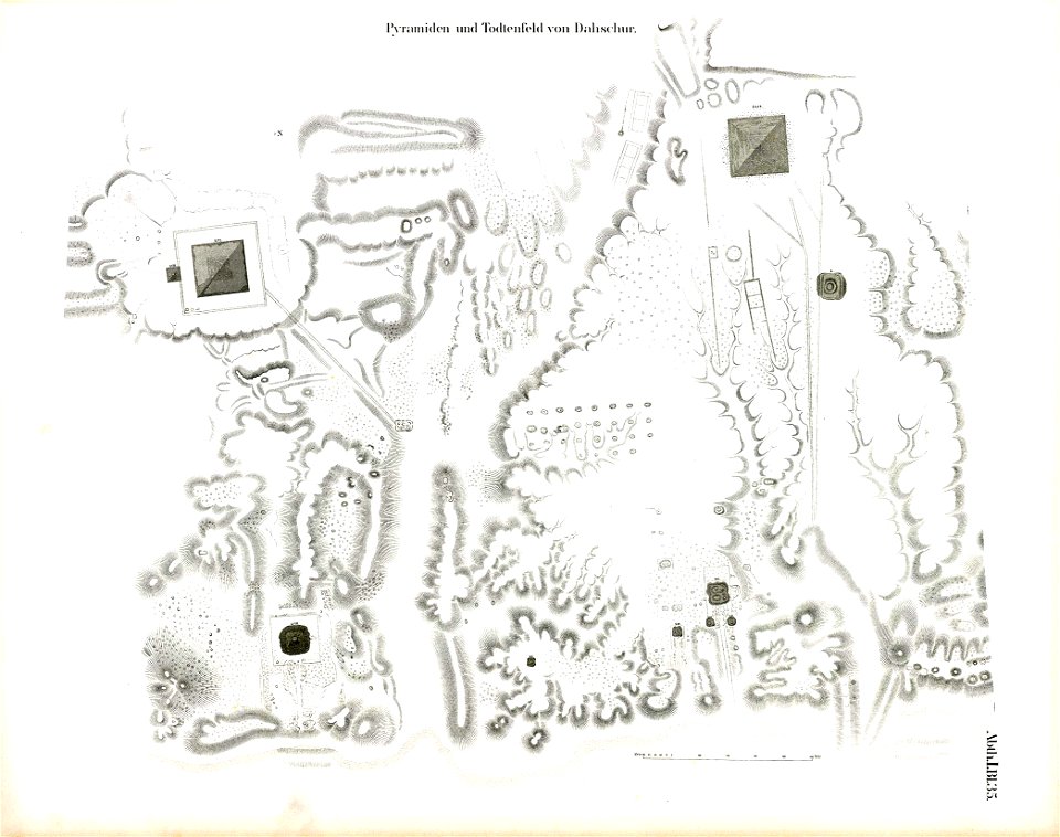
lepsius-projekt - maps
historical images of lepiel
maps of liepieĺ
lepsius-projekt - maps
pyramids of el-kurru
lepsius-projekt - pyramids
dahshur
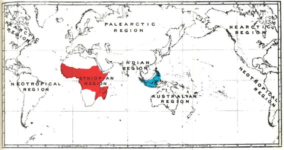
primates distribution maps
handbook to the primates
primates distribution maps
handbook to the primates
geographical illustrations by coronelli
maps of preveza
maps of oudenaarde by jacob van deventer
joseph pitton de tournefort
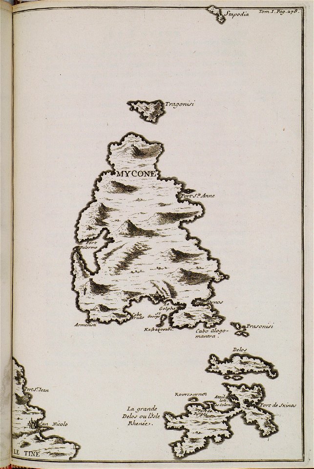
maps of delos
historical images of pinsk
maps of pinsk
historical images of pinsk
maps of pinsk
maps by george h. walker and company
joseph pitton de tournefort
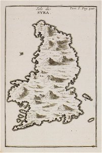
maps of syros
geographical illustrations by coronelli
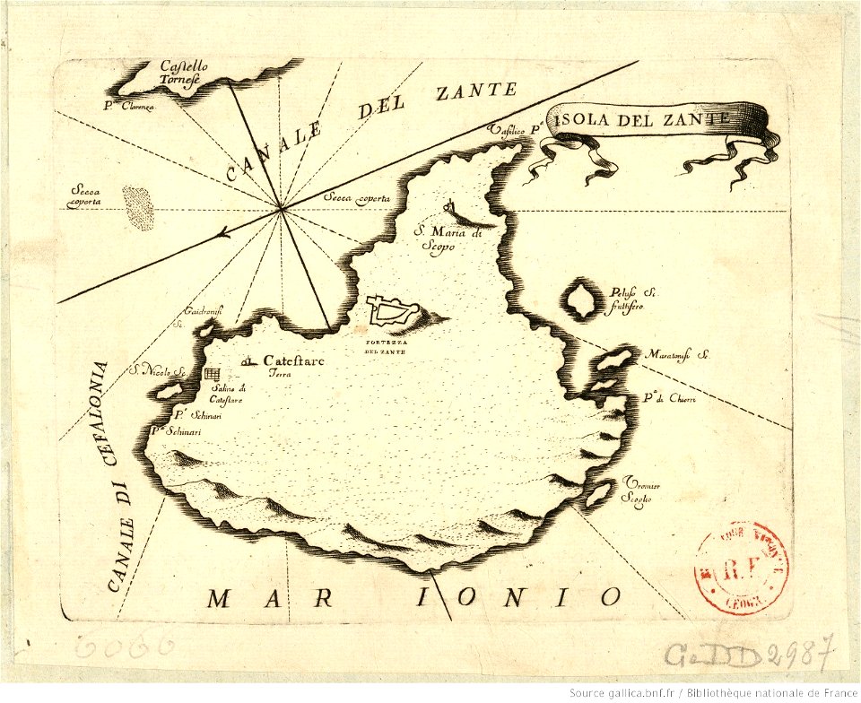
maps of zakynthos
geographical illustrations by coronelli
maps of kefalonia
geographical illustrations by coronelli
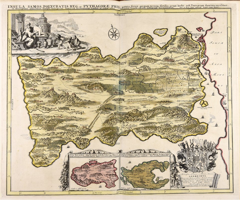
maps of icaria
historical images of homel
maps of homieĺ
royal observatory
greenwich
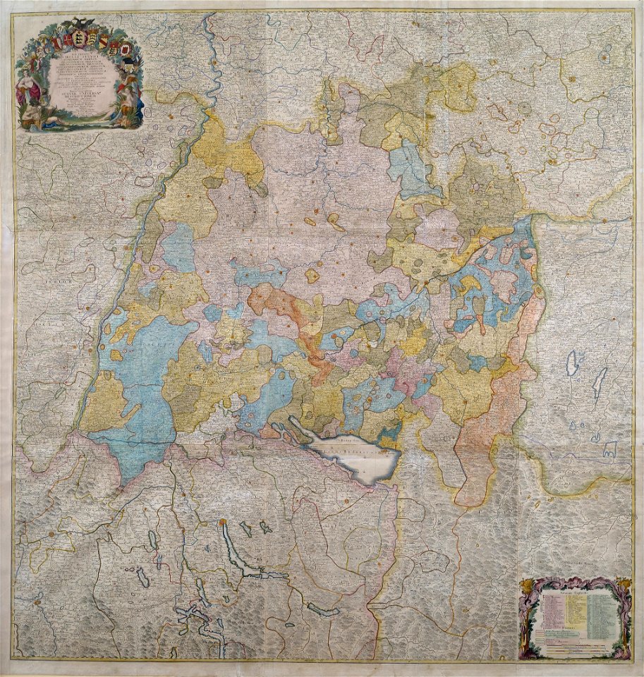
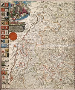
1750s maps of baden-württemberg
swabian circle
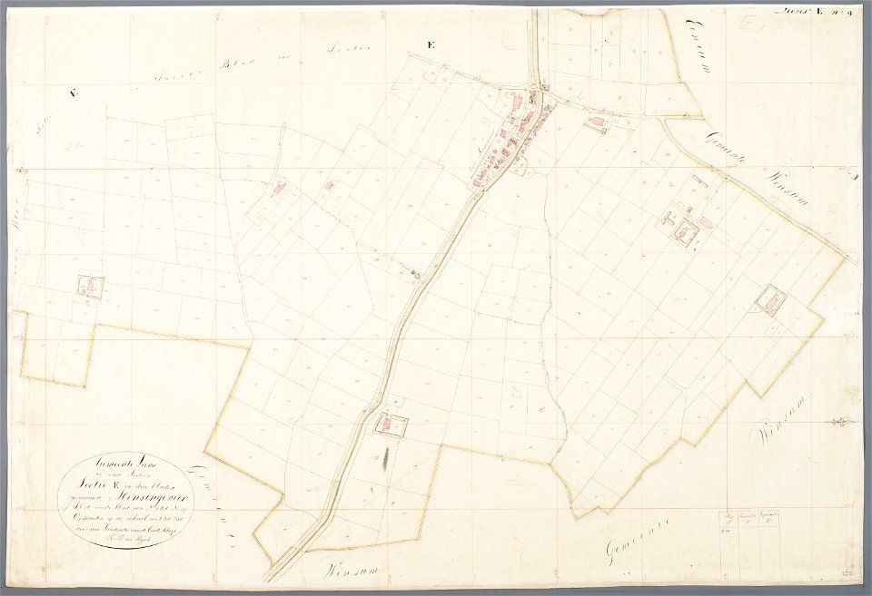
mathenesse (mensingeweer)
maps of de marne
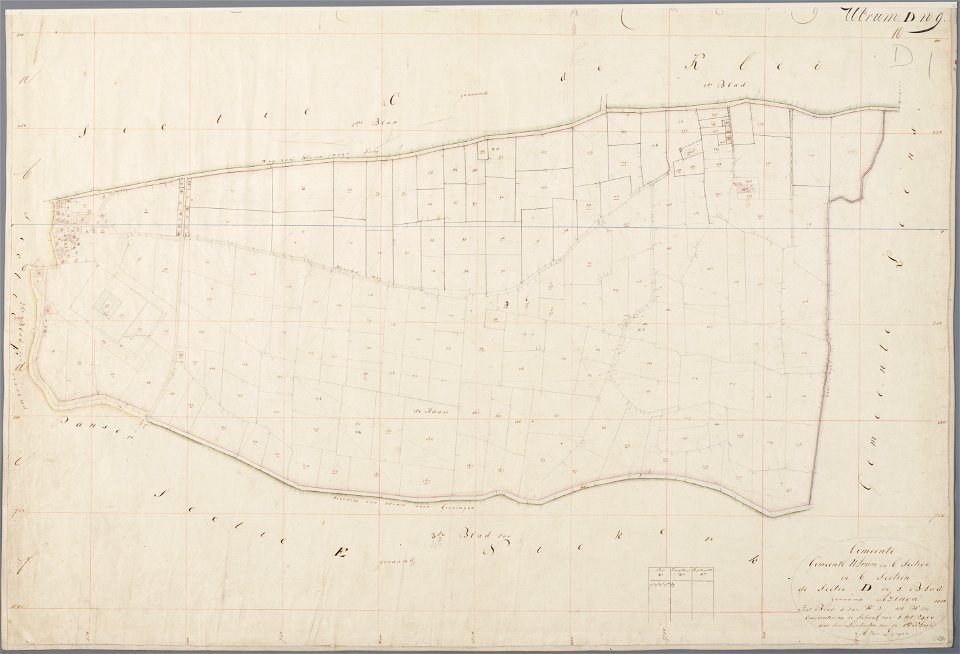
asingaborg (ulrum)
ulrum
maps of berlin-wannsee
park klein-glienicke
description de l'universe
1683 maps of africa
maps with stab-werner projection
petrus apianus
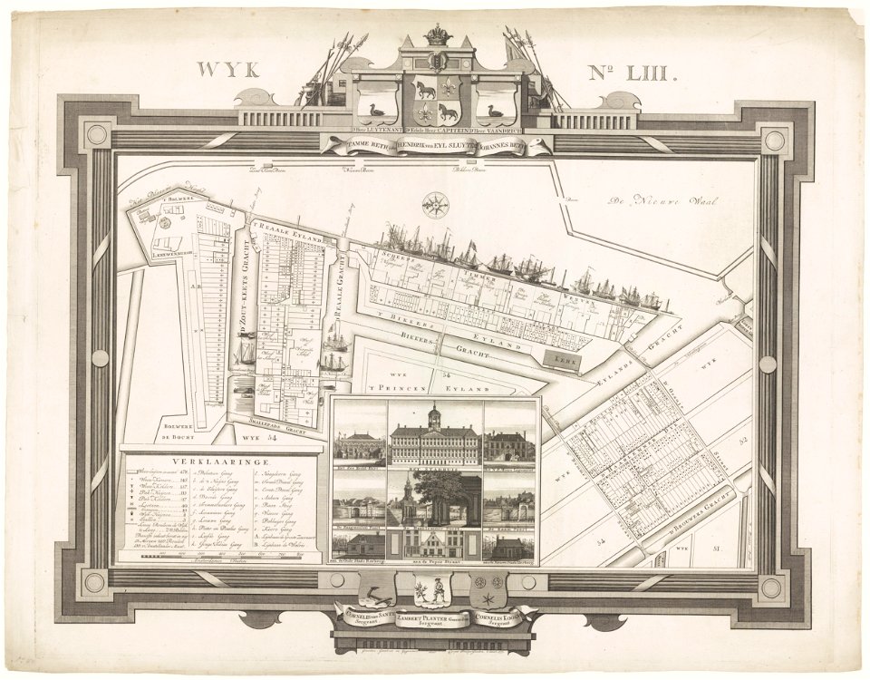
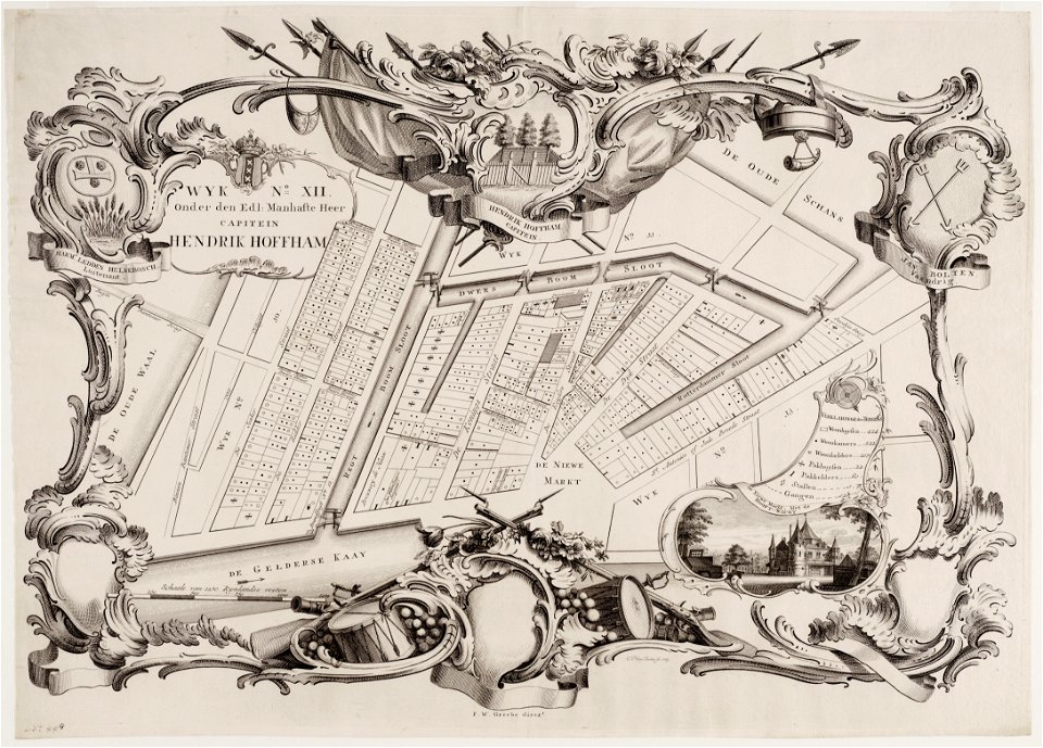
maps in the stadsarchief amsterdam
caspar philips
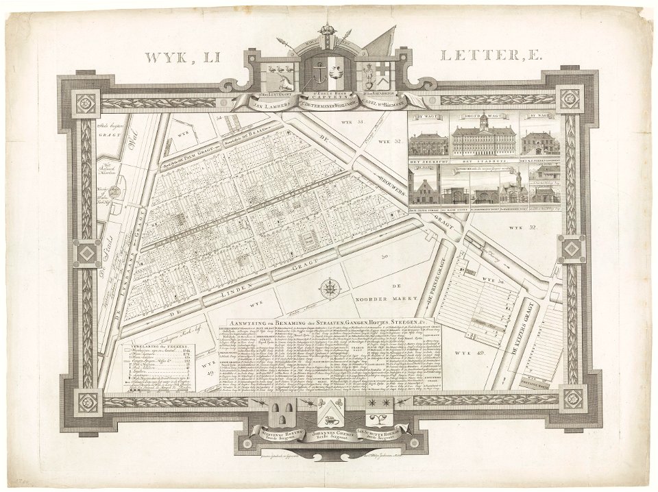
maps in the stadsarchief amsterdam
caspar philips
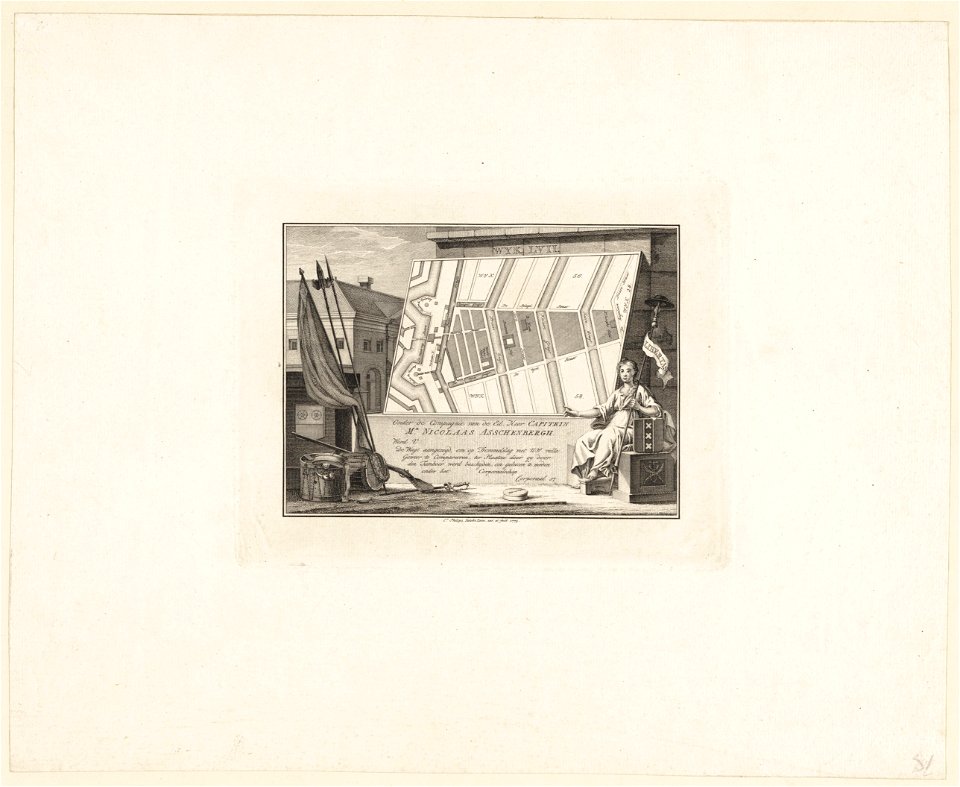
maps in the stadsarchief amsterdam
caspar philips
maps in the stadsarchief amsterdam
caspar philips
maps in the stadsarchief amsterdam
caspar philips
maps in the stadsarchief amsterdam
caspar philips
brockhaus' konversations-lexikon (1892)
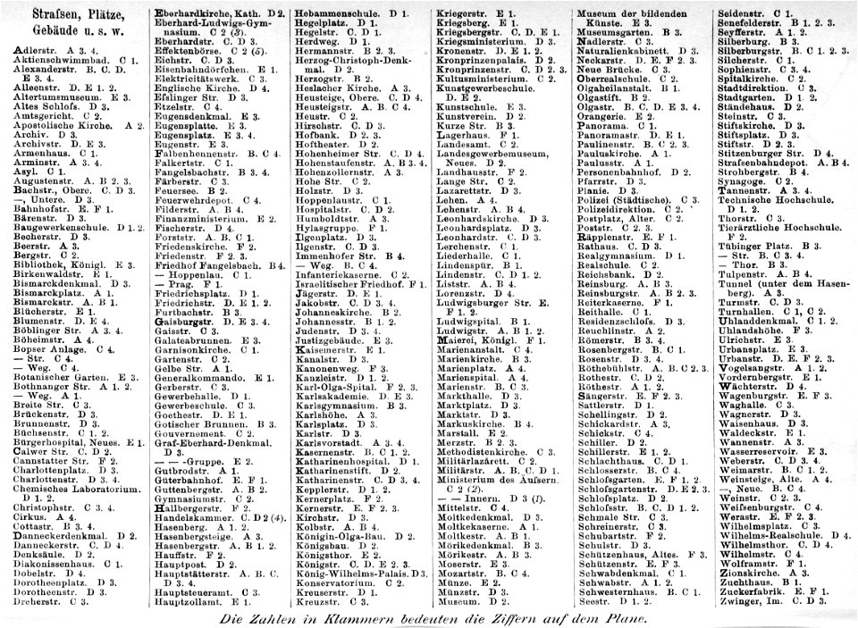
maps of stuttgart
maps of lidingö
breviks gård
historical images of sluck
maps of sluck
historical images of słonim
maps of slonim
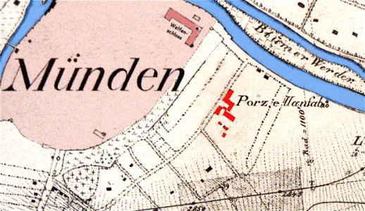
fayence-manufaktur münden
maps of hann. münden
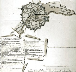
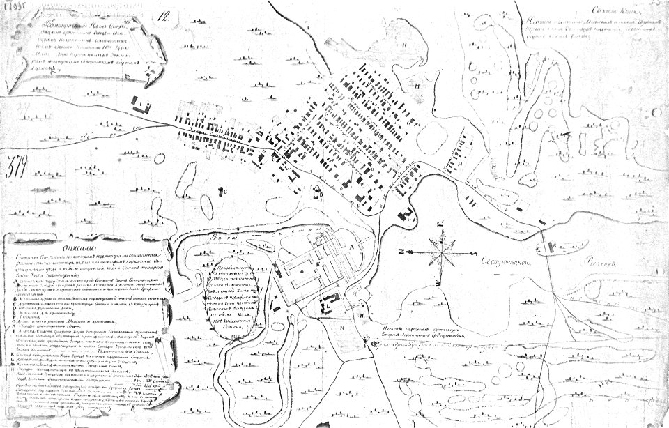
18th-century maps of russia
sestroretsky spill
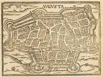
theatrum urbium (1610)
1610s maps of augsburg
historical images of čerykaŭ
maps of čerykaŭ
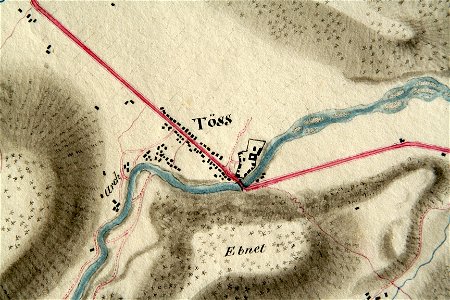
töss (winterthur)
töss abbey
description de l'universe
1719 maps of africa
description de l'universe
1683 maps of africa
geographical illustrations by coronelli
maps of lefkada
map of paris by claes jansz. visscher - derivate files
historical images of abbaye de saint-germain-des-prés
history of tbilisi
tbilisi
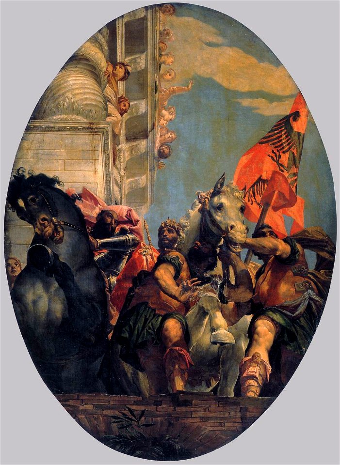
paintings of drunken lot and his daughters
round paintings of people
20th-century oil paintings of sitting women at full length
paintings of sitting old women
pd-old-100-expired
cc-pd-mark
paintings of people in nature
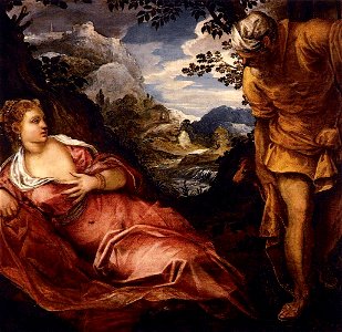
judah and tamar
1550s paintings from italy
1550s religious paintings
1550s paintings from italy
1550s religious paintings
16th-century religious paintings in italy
triumph
maps of bremen by c. a. heineken
maps made in the 18th century
topographic maps of afghanistan
wakhan corridor
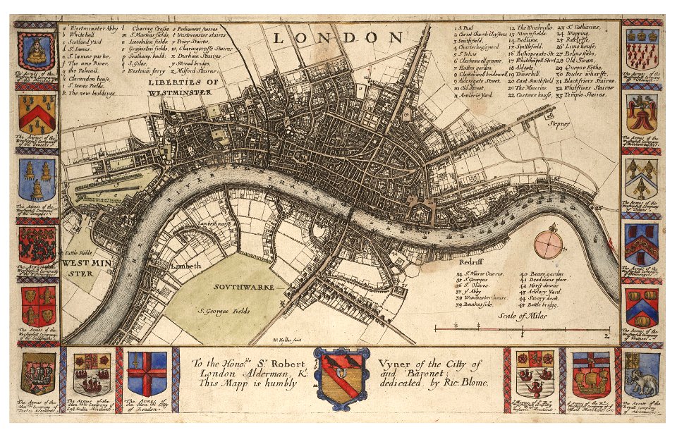
university of toronto wenceslas hollar digital collection
hollar maps and plans of london
maps made in the 18th century
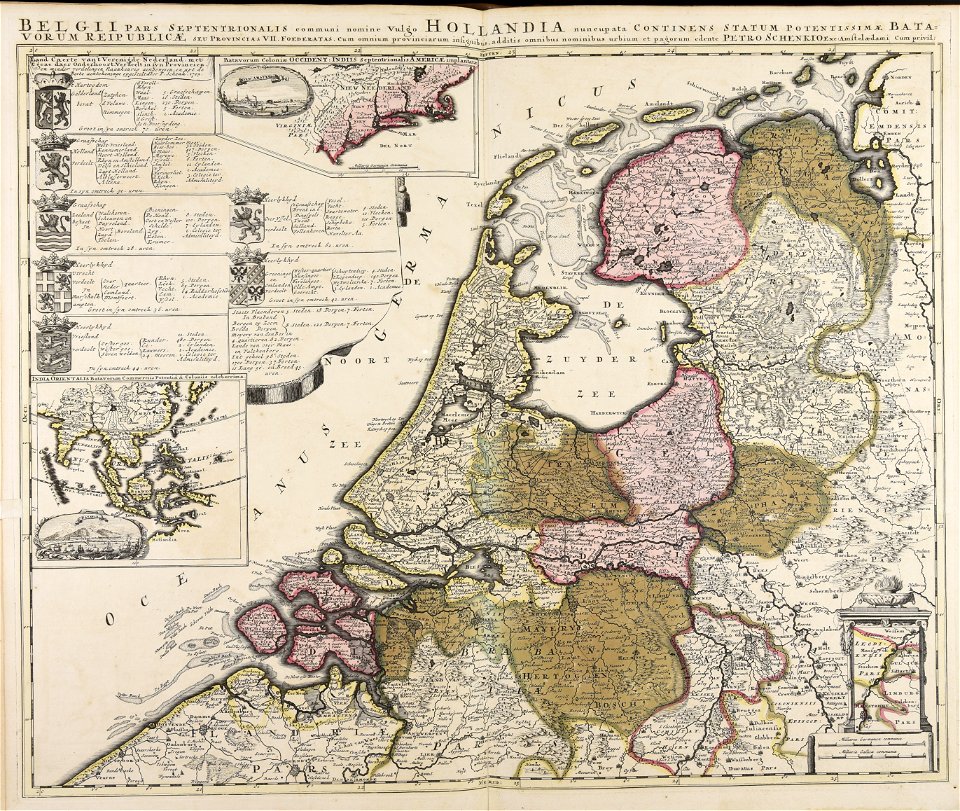
paesi bassi
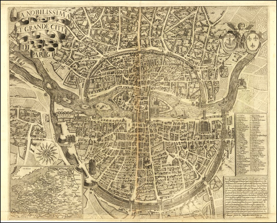
maps of paris from the barry lawrence ruderman antique maps inc.
la nobilissima et grande città di parigi by matteo florimi
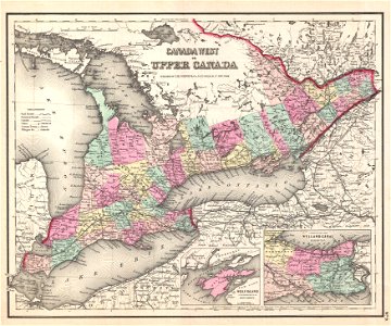
bruce county
ontario
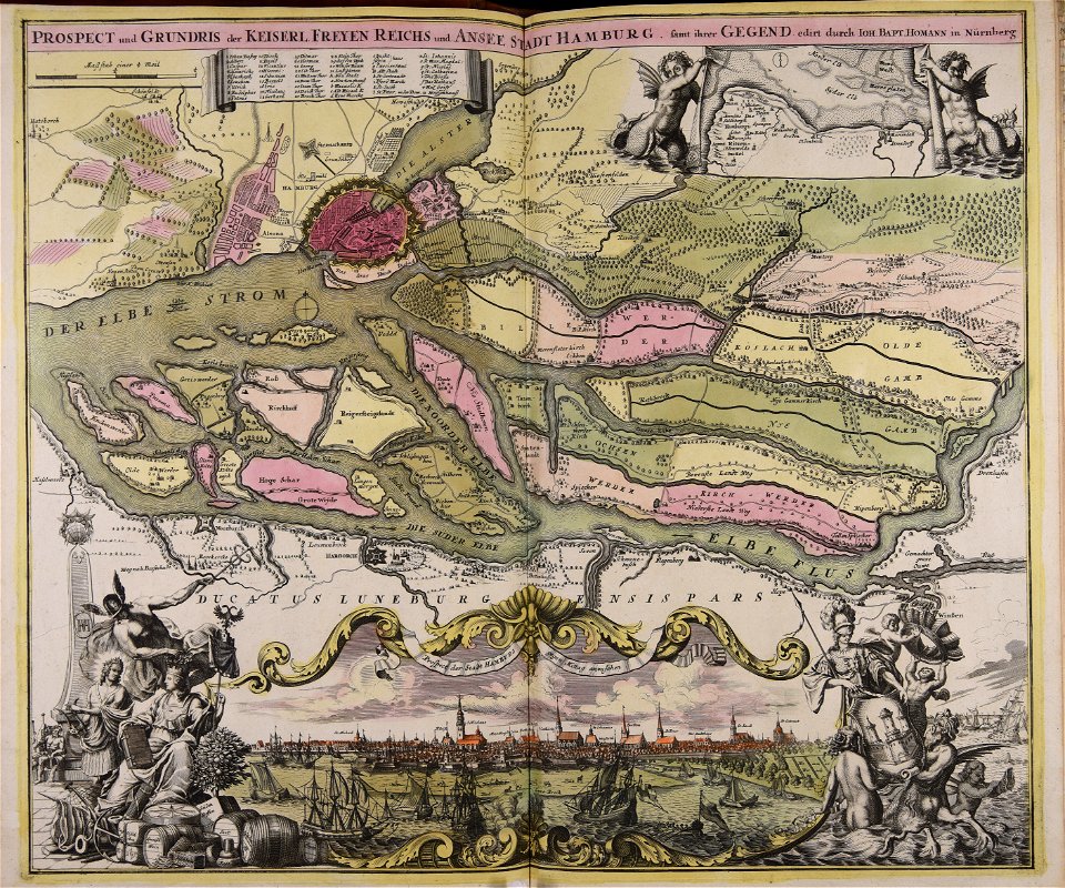
johann baptist homann
1720s maps of egypt
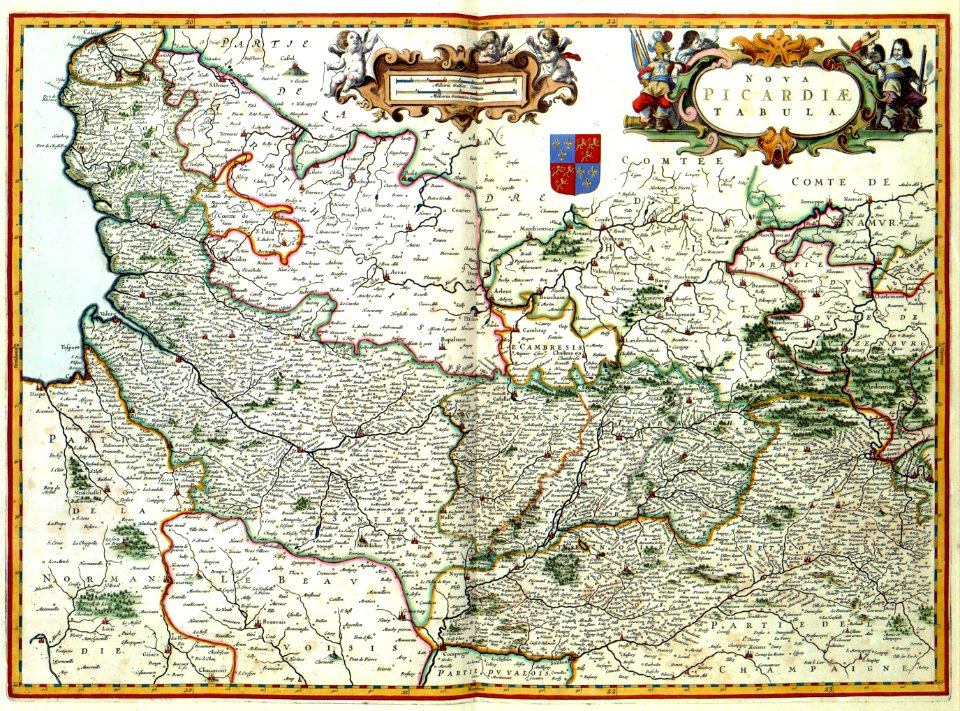
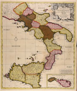
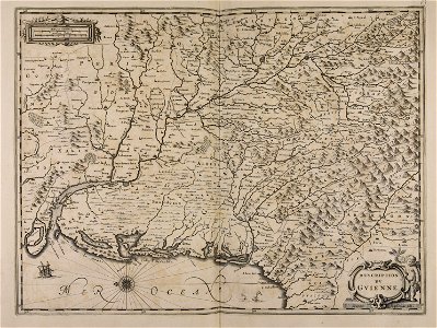
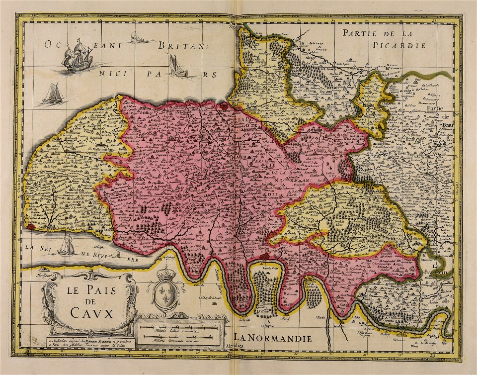
17th-century maps of france
maps with cartouches
17th-century maps of france
maps with cartouches
maps with cartouches
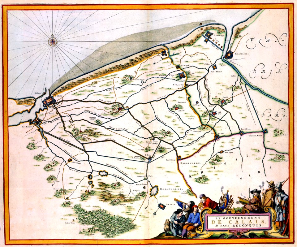
history of picardie
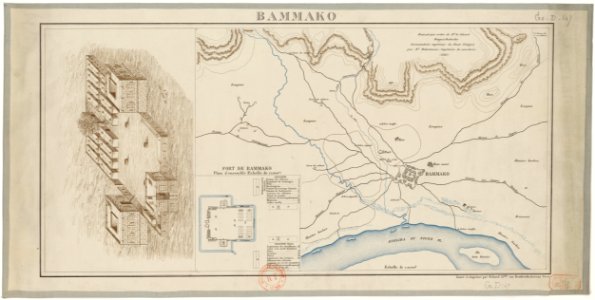
bamako in the 1880s
military maps
maps of the dutch east india company - indonesia
onrust island
maps made in the 18th century
maps by pieter schenk (i)
1640s maps of france
jan janssonius
coats of arms of baden-württemberg
duke of württemberg
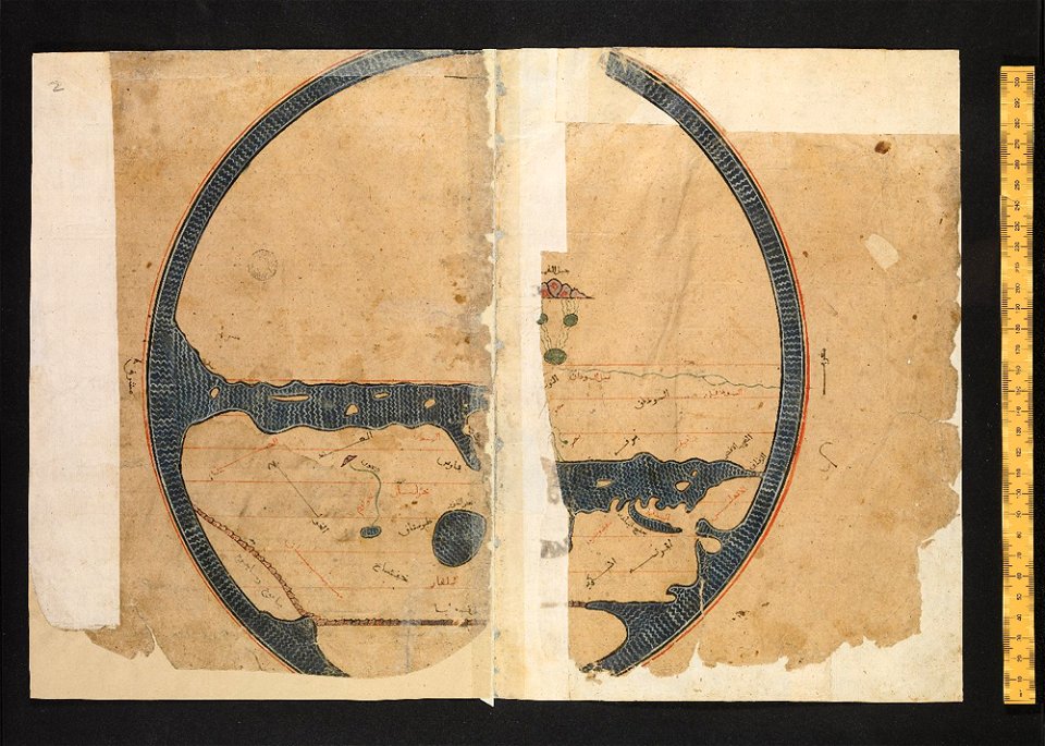
arabic-language manuscripts
bodleian library
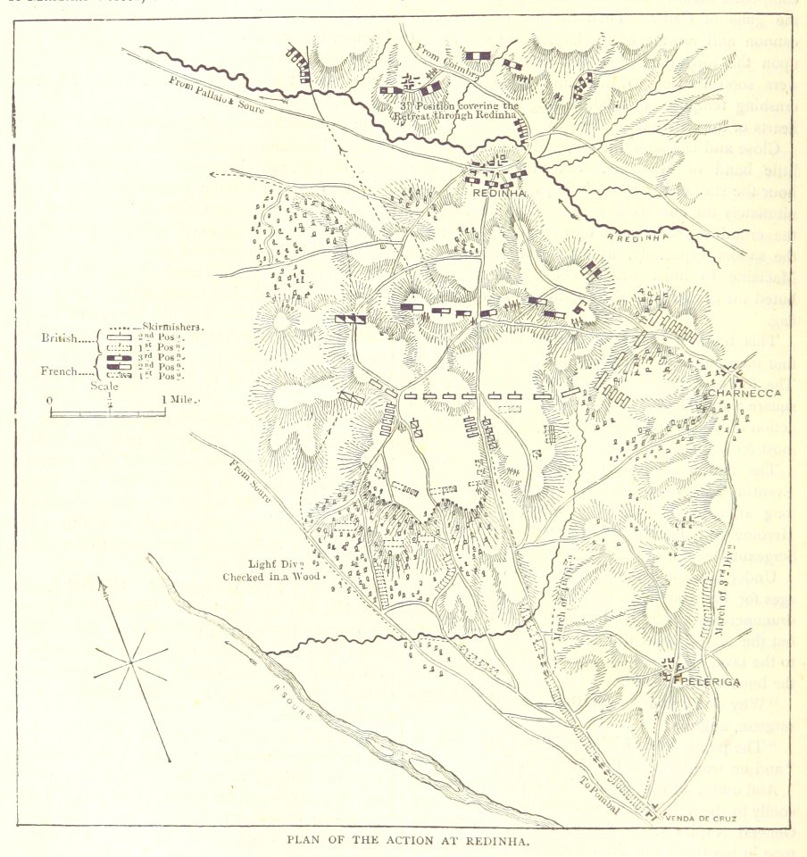
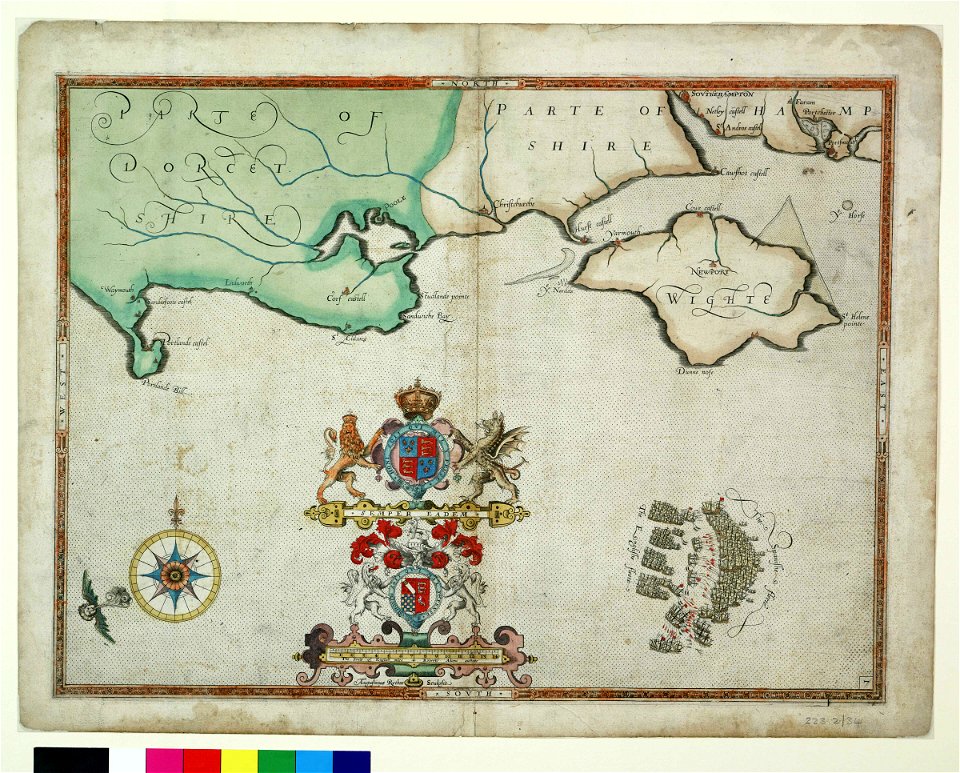
maps from the mechanical curator collection
british battles on land and sea
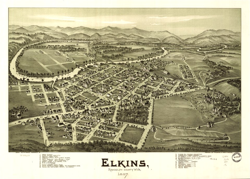
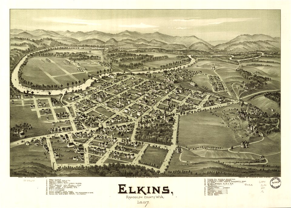
west virginia
elkins
west virginia
elkins
atlantis magni tomus quartus (biblioteca comunale di trento)
maps made in the 18th century
atlantis magni tomus quintus (biblioteca comunale di trento)
maps made in the 18th century
maps made in the 17th century
jan janssonius
bamako in the 1880s
military maps
18th-century maps of schleswig-holstein
maps by pieter schenk (i)
maps made in the 17th century
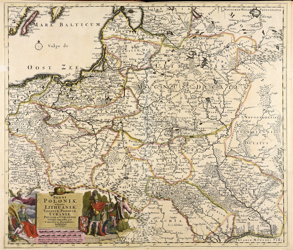
cornelis danckerts (i)
maps made in the 18th century
johann baptist homann
charts and maps of the royal museums greenwich
1590 maps
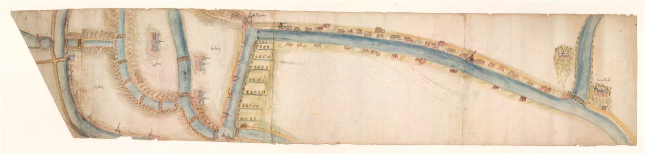
maps of waterways in the netherlands
leiden
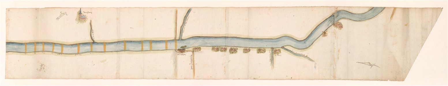
maps of waterways in the netherlands
voorschoten
maps made in the 18th century
maps by pieter schenk (i)
9501 - 9600 of 52,119
Next page
/ 522